
Overview
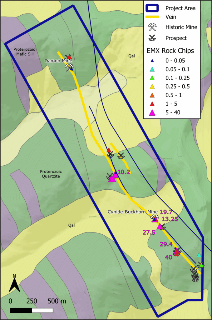
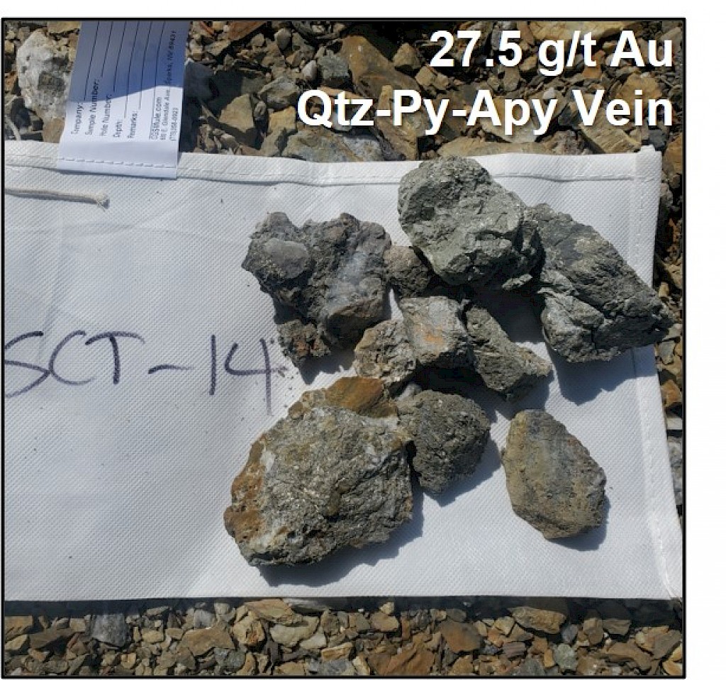
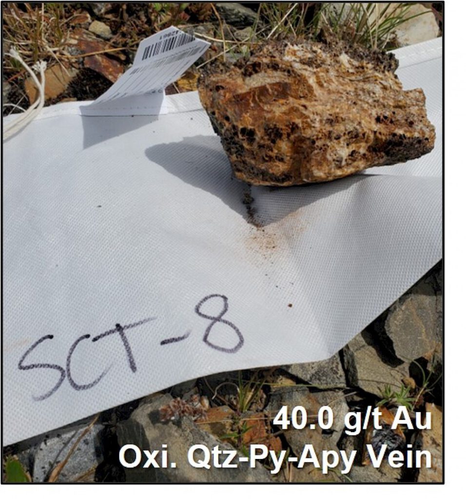
Scout is located 25 kilometers northeast of Bonners Ferry, Idaho. It is road accessible by paved highway from Bonners Ferry, and then from gravel and dirt roads into the project area. The project is a 3 kilometer-long gold-silver vein system within the Eastern Cordilleran Orogenic Gold Belt with minimal outcrop. Quartz-pyrite-arsenopyrite (±galena-sphalerite) veins are hosted in Proterozoic Belt-Purcell Basin quartzite and potentially Proterozoic mafic sills at depth. Elemental collected rock chip samples of up to 40.0 g/t Au (n=19, avg. 9.3 g/t Au, max=40.0 g/t Au) from two historic underground mines, separated by 1.5 kilometers of strike length. Veins are 0.5-2 meters thick and dip 55-85° southwest. A historic underground channel sample at the Cynide-Buckhorn Mine measured 0.9m @ 18.0 g/t Au + 216 g/t Ag.1
The host rocks on the property include Proterozoic Belt-Purcell rift basin quartzite (Prichard Formation) and potentially the Proterozoic Moyie mafic sill complex (ideal Fe source for sulfidation reactions and Au deposition).
Structures are regionally and locally folded units, with veins hosted within a regional shear zone with normal-oblique (right lateral?) kinematics. Alteration present consists of quartz-pyrite-arsenopyrite (±galena-sphalerite) veins with localized silicification, sulfidation, and sericitization of wallrock. There is an Au:Ag ratio of 0.6:1 (n=19 rock samples), and strong Au-Ag-As-Bi geochemical association.
The targets on the property are the high-grade, underground mineable quartz vein-hosted gold. There is opportunity to discover new veins and extensions of known veins covered by shallow soil and vegetation. There are drill-ready targets near historic high-grade underground mines and additional targets may be generated with systematic field mapping, stream and soil geochemistry (strong Au-Ag-As geochemical association), and geophysics.
1 Watts, C.D. and Fancher, J.D., 1990. Scout Project Underground Sampling Memo for Cominco American.
Project Gallery
(click to enlarge)